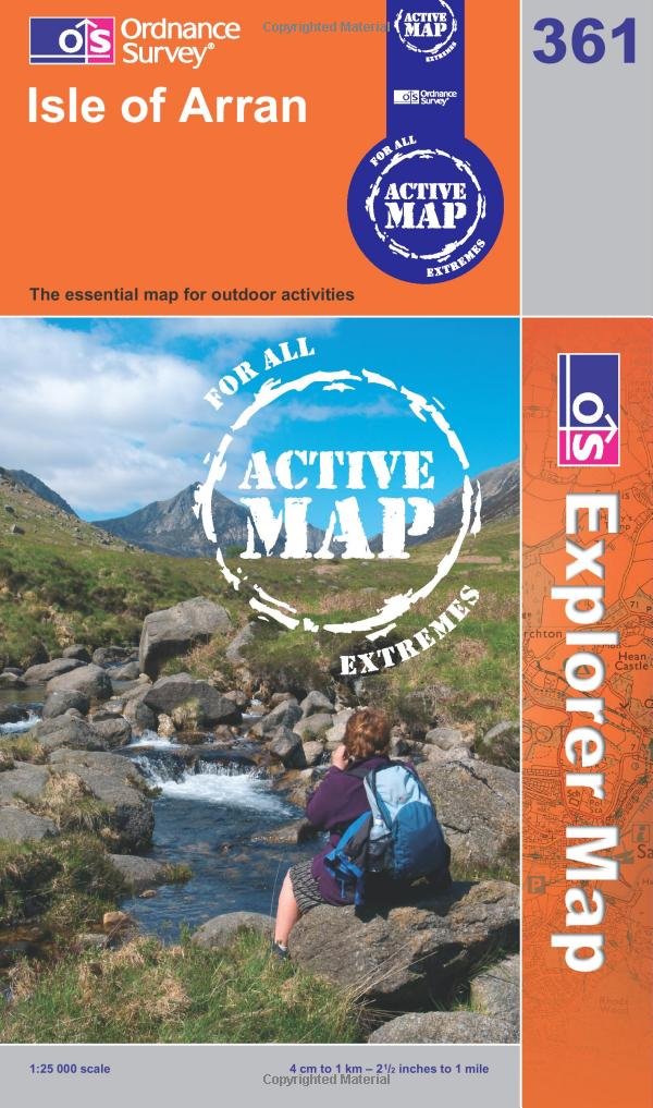
The Essential Tool for Conquering the Isle of Arran – Ordnance Survey Map
Please note the links within this post are affiliate links.
Are you ready for an adventure? The Isle of Arran is a true gem of Scotland, with stunning landscapes, diverse wildlife, and a rich history. But to truly immerse yourself in this beautiful island, you need an Ordnance Survey map. This map is not just a simple guide, but a tool that will unlock hidden treasures and secrets of the island. With an Ordnance Survey map, you can discover ancient standing stones, explore hidden caves, and trek through rugged terrain to reach breathtaking views. Whether you’re an experienced hiker or a curious traveler, this map will be your best companion on your journey through the Isle of Arran. Don’t miss out on this unique opportunity to uncover the mysteries of one of Scotland’s most beautiful islands.
The Importance of Preparation
As a budding explorer, I know the importance of preparation. Before embarking on any adventure, you need to arm yourself with the necessary tools and information to ensure your safety and success.
And when it comes to conquering the Isle of Arran, there is one essential tool that every adventurer must have – an Ordnance Survey map.
The Power of Knowledge
The power of knowledge is undeniable, and an Ordnance Survey map provides you with the detailed and accurate information you need to navigate the terrain of the Isle of Arran.
With its precise topographical features, landmarks, and routes, an Ordnance Survey map is the key to unlocking the hidden treasures of this beautiful island.
Table of Contents:
The Hidden Treasures of the Isle of Arran
From the majestic Goatfell Mountain to the ancient Machrie Moor Stone Circles, the Isle of Arran is brimming with hidden treasures waiting to be discovered. But without an Ordnance Survey map, these treasures may remain forever hidden from view. With its detailed information on the island’s terrain and attractions, an Ordnance Survey map will guide you to the top destinations of the Isle of Arran.
Here are some top attractions to add to your itinerary:
- Goatfell Mountain: Standing at 874 meters, Goatfell is the highest peak on the Isle of Arran. A popular hiking trail leads to the summit, providing stunning views of the island and surrounding sea.
- Machrie Moor Stone Circles: This ancient site contains several standing stones and burial cairns, dating back to the Neolithic era. An Ordnance Survey map is essential for finding this hidden gem, as it is located off the beaten track.
- Brodick Castle and Country Park: This historic castle is surrounded by beautiful gardens and woodland, and offers guided tours and exhibitions on the island’s history and culture.
- Lochranza Castle: Located on the north end of the island, this ruined castle overlooks the sea and provides a glimpse into the island’s medieval past.
- Glen Rosa: This picturesque valley is a popular destination for hikers, offering scenic views of waterfalls, rocky cliffs, and grazing sheep.
Where to Find Your Ordnance Survey Map
As an adventurer, you know that preparation is the key to success. So where can you find your Ordnance Survey map to prepare for your conquest of the Isle of Arran? Look no further than the official Ordnance Survey website, outdoor retailers such as Cotswold Outdoor, Blacks, and Millets, or the convenience of Amazon.
The Final Word
In conclusion, an Ordnance Survey map is an essential tool for any adventurer looking to conquer the Isle of Arran. It provides you with the detailed and accurate information you need to navigate the island’s terrain and unlock its hidden treasures. So don’t delay, arm yourself with an Ordnance Survey map and begin your conquest of the Isle of Arran today.


